Spatial Intelligence:
Data visualisation

Map visualisation

Chart visualisation

Tabular visualisation
Data Visualisation
We undertook a study on how best to visualise environmental data with maps, charts and tables.
the aim
The aim was to create a study in the visualisation of environmental indicators. Environmental data was sourced from The World Bank. Based on the available environmental data we created a number of data visualisation tools that are easy to use and convey the data values quickly and easily to the non-technical user.
The following visualisation display types are available:
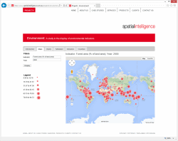
- Environmental indicators for a nominated year for each country in map form.
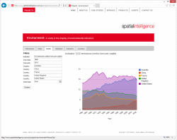
- Environmental indicators for a nominated year range and up to five countries in chart form.
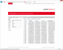
- Environmental indicators for a nominated year range and up to five countries in table form.
- All the available environmental indicators and notes about each indicator and its source in table form.
- All the available countries in table form.
the solution
The web site uses the following technologies:
- Windows Server
- Microsoft .NET Framework
- ASP.NET
- Entity Framework
- MySQL
- Google Maps
- Google Visualization
Tags
more details
For more details please use our 'Contact us' page or email us at info@spatialintelligence.com.au